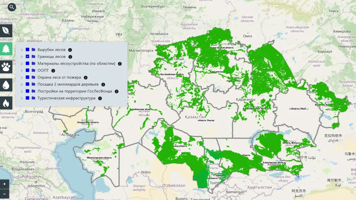
ASTANA – An interactive map of natural resources is available on the Tabigat.gov.kz website, Kazakh Deputy Minister of Ecology and Natural Resources Nurlan Kurmalayev said at a Dec. 10 briefing in the Central Communications Service (CCS).

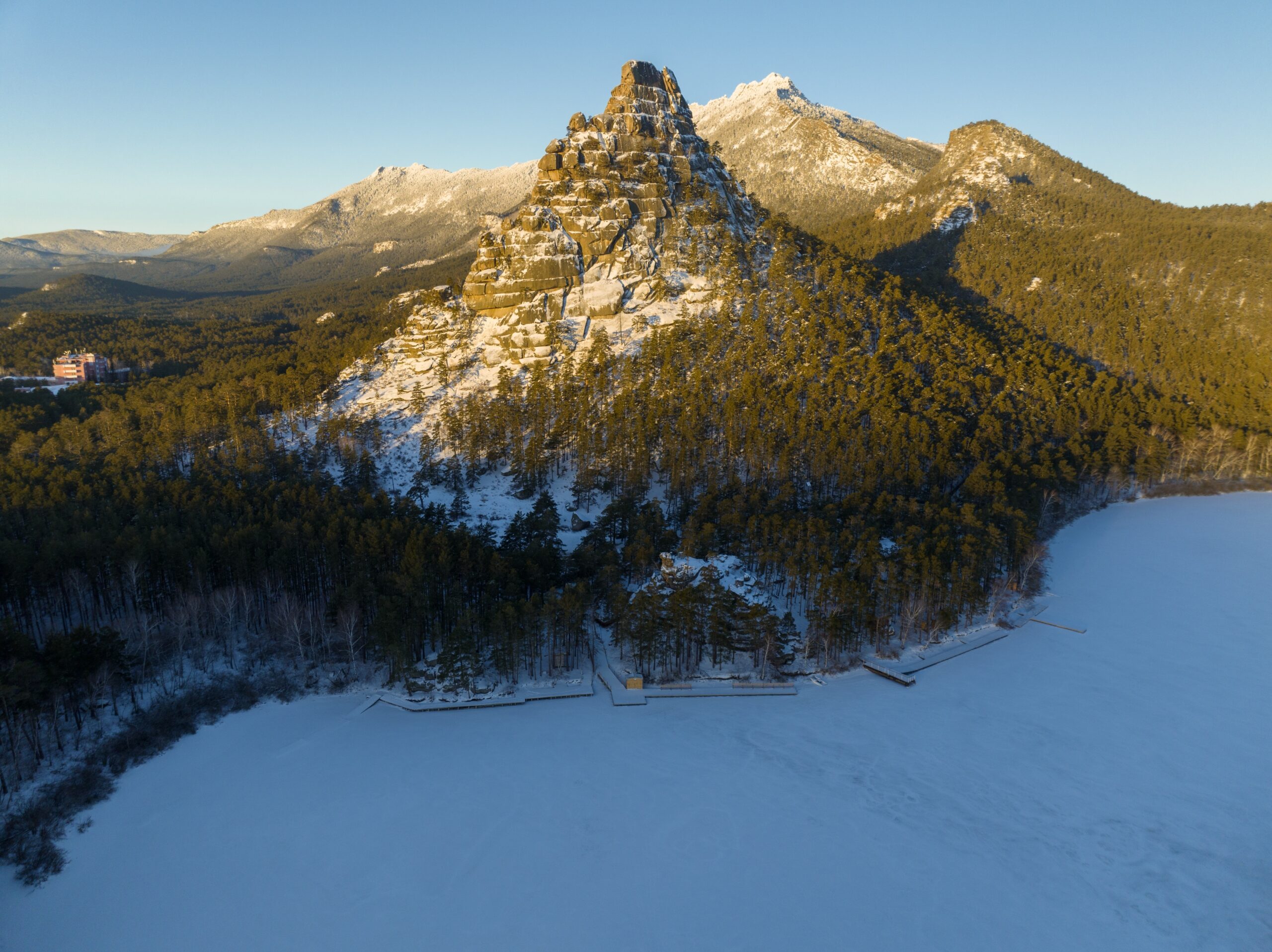
Burabay State National Natural Park. Photo credit: Shutterstock
“This is a geographic information platform that provides information on the environmental situation and natural resources of our country, tied to a geographic context. Users have access to information on historical pollution and environmental stress, solid waste collection and recycling points, as well as geographic data on natural resource objects: surface waters; specially protected natural areas; recreational areas; habitats and migration routes of wildlife; as well as hunting grounds,” said Kurmalayev.

Photo credit: Tabigat.gov.kz
According to him, the map enables uniform access to comprehensive environmental protection and natural resource data. To preserve public interest in ecotourism, all natural objects uploaded on the geographic information platform are available on the popular online map service, Kazinform reported. This allows residents to obtain information and plan their journeys ahead of time.
Kurmalayev stated that one of the major features of the interactive map is the use of space monitoring to determine the locations of spontaneous dumping, illegal deforestation, and heat spots on the state forest fund’s land. Monitoring of spontaneous dumping includes 46 zones of interest, including major cities and densely inhabited areas.
