
ASTANA – A Russian scientific expedition in April confirmed a continued decline in the Caspian Sea level during the Novaya Delta 2026 mission, according to the researchers from the P.P. Shirshov Institute of Oceanology of the Russian Academy of Sciences.
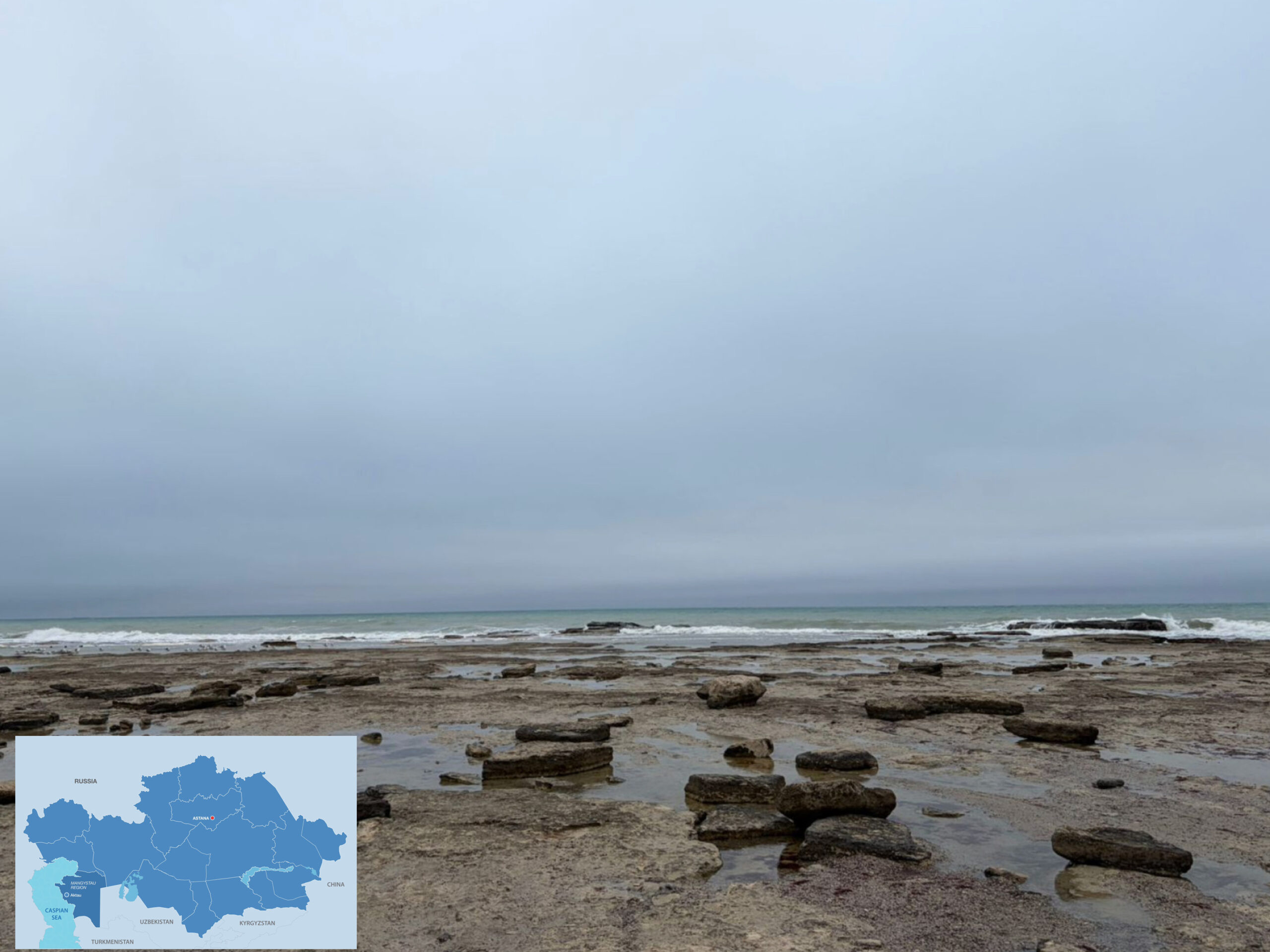
Photo credit: Tengrinews. Click to see the map in full size. The map is designed by The Astana Times.
The expedition, carried out with participation from the Astrakhan Nature Biosphere Reserve and Russia’s hydrographic service vessels, surveyed the northern Caspian Sea and the Volga-Caspian shipping canal. Scientists confirmed a continuing decline in water levels.
Field observations recorded significant shoreline transformation and island growth. The area of the Chistaya Banka island has doubled since 2019, while a newly formed island on the former Tbilisi Bank has expanded threefold over the past year as the waters receded.
Measurements of currents and seabed imaging revealed complex water circulation patterns shaped by river inflow and seasonal conditions. Samples were collected for laboratory analysis of chemical and biological parameters.
Researchers concluded that the Caspian Sea continues to experience a steady drop in water level, accompanied by visible changes in coastal and underwater landscapes.
The Caspian Sea crisis was high on the agenda during the Regional Ecological Summit 2026 (RES) in Astana, where officials and experts warned that the sea level has fallen by around two meters since the 1990s, underscoring the growing environmental challenges facing the region.