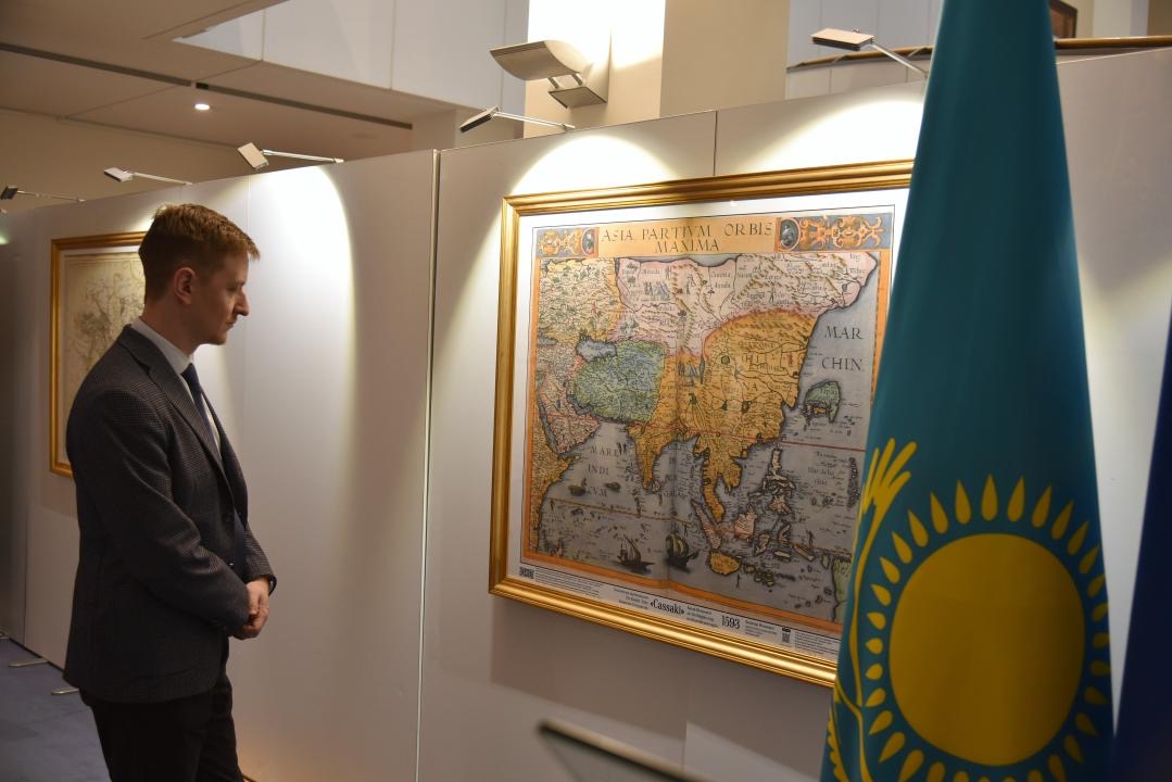
ASTANA – An exhibition of ancient maps depicting the Kazakh state opened on April 12 at the European Parliament in Brussels, marking the 30th anniversary of the establishment of diplomatic relations between Kazakhstan and the European Union (EU), reported the Kazakh Embassy in Belgium.

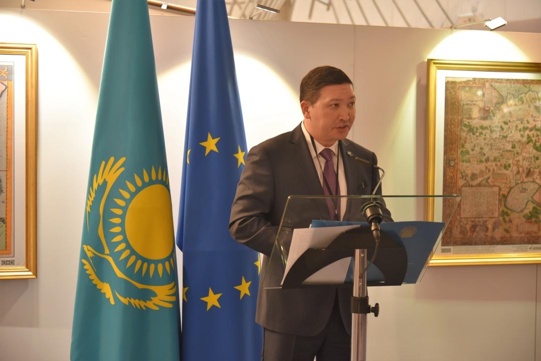
Margulan Baimukhan at the opening ceremony of the exhibition of old maps reflecting the Kazakh nationhood in Brussels on April 12.
The exhibition displays unique maps dating from the 16th to 19th centuries, originally printed on the territory of today’s Belgium, France, Germany, the Netherlands, and the United Kingdom.
According to the Kazakh Ambassador to Belgium and Head of Kazakhstan’s Mission to the EU Margulan Baimukhan, this initiative is based on important research that reflects the historical foundation of the strong partnership that has been established today between Kazakhstan and the EU.

Photo credit: Kazakh Embassy to the Kingdom of Belgium.
Karsten Lucke, a European Parliament member, commented on the importance of learning about each other’s culture and history.
“It is important to constantly contribute to the deepening of our knowledge about each other, especially our youth. It is interesting for Europeans to discover Kazakhstan and Central Asia, including from the historical perspective of how we in Europe perceived Central Asia and Kazakhstan in the past,” he said.

Photo credit: Kazakh Embassy to the Kingdom of Belgium.
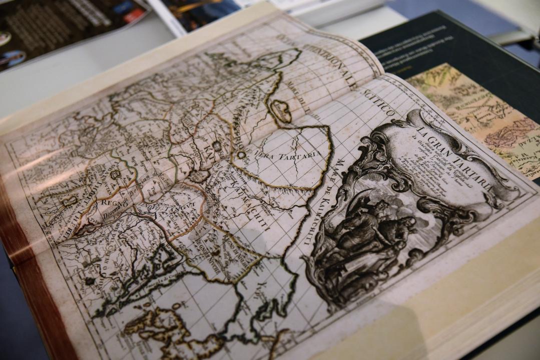
Approximately 1,500 maps were collected, with 130 of them published in the book “Uninterrupted History of Nationhood in Kazakhstan. The Kazakh State on European and American Maps of the 16-19th Centuries. Atlas” by Mukhit-Ardager Sydyknazarov, doctor of political science and director of the Institute of Modern Studies at the Gumilyov Eurasian National University (ENU).
Published in Brussels, the book contains detailed information on the cartographers of the maps, the date of publication, the maps’ size, where they are stored, and the inscriptions on the maps by the cartographers.
The opening ceremony was attended by members of the European Parliament, officials from the European Commission, the European External Action Service, members of the diplomatic corps, journalists, experts, and the public.
On April 11, ENU opened a gallery displaying a unique collection of 100 European and American maps showing the Kazakh khanate in the 16th-19th centuries.
