
ASTANA – The Gumilyov Eurasian National University (ENU) opened a gallery displaying a unique collection of 100 European and American maps showing the Kazakh khanate in the 16th-19th centuries, reported the university’s press service on April 11. The event was organized to mark the Day of Science Workers.
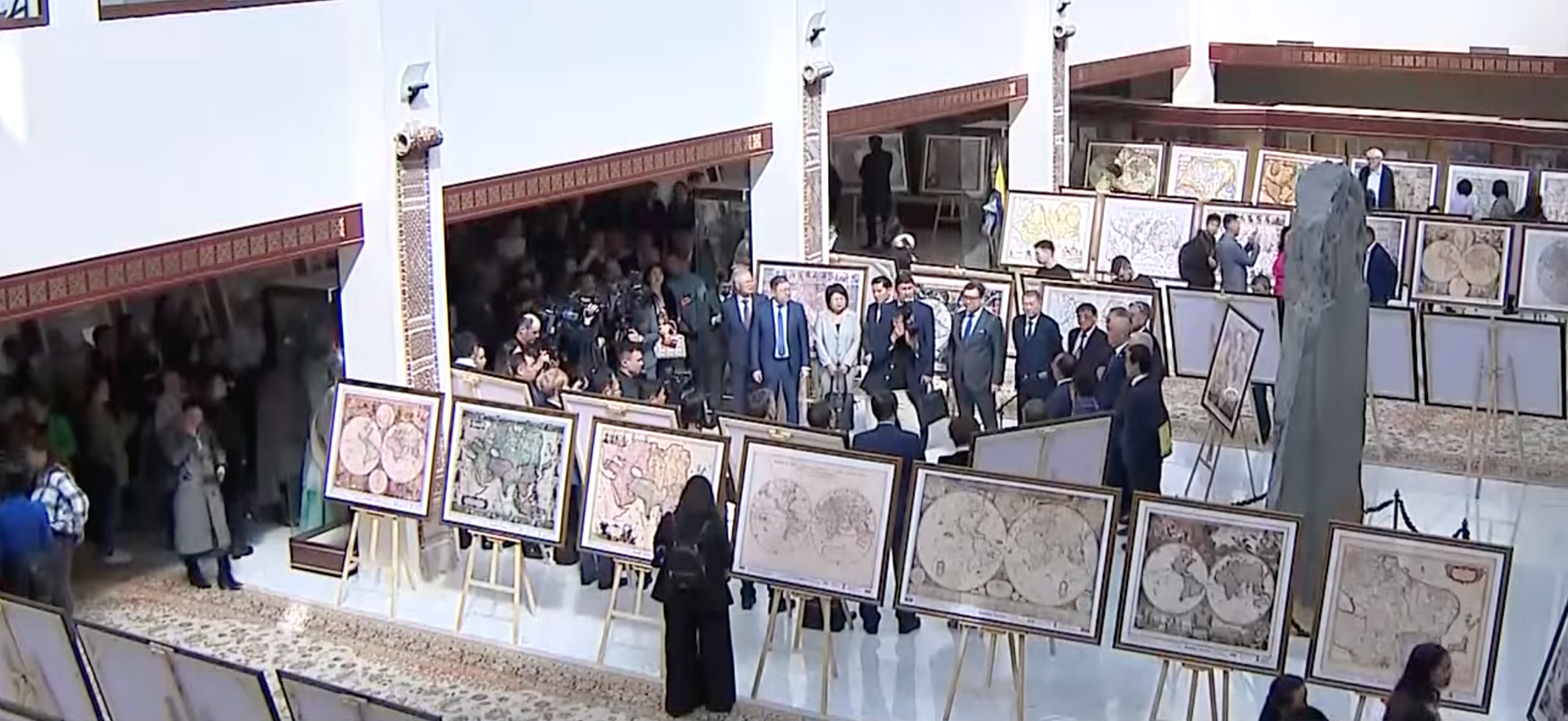
Photo credit: A screenshot from the video news released on Khabar 24.
The earliest of these maps dating back to 1540 was found in Basel, Switzerland. According to scientists, the collection is only a part of 1,500 maps of the Kazakh state, found as a result of scientific research in the national and royal archives, libraries of European countries, the United States and a number of Middle Eastern countries.
“President Kassym-Jomart Tokayev commended the work by the Kazakh scientists and emphasized the need to organize special exhibitions in the regions of the country and abroad, where everyone could get acquainted with the results of this scientific research. Such galleries will help to strengthen knowledge about our continuous nationhood, as a state with a long history,” said ENU Rector, Professor Yerlan Sydykov.

The opening ceremony of the gallery. Photo credit: Press service of ENU.
The opening ceremony included a lecture by Mukhit-Ardager Sydyknazarov, doctor of political science and director of the ENU Institute of Modern Studies, who authored the book “Uninterrupted History of Nationhood in Kazakhstan. The Kazakh State on European and American Maps of the 16-19th Centuries. Atlas.” He spoke about his work and research in European national and royal archives, libraries and museums, map centers and U.S. libraries, which took 17 years before he finally published this book.
The book includes 130 European and American maps dated from 1562 to 1879 and the names of the early Kazakh state, displaying an uninterrupted history of Kazakh nationhood in the 16th-19th centuries. It was published in three languages and presented in Kazakhstan and abroad.

Photo credit: Press service of ENU.
“These maps prove the existence of Kazakh statehood. They clearly show that the Kazakh state since its formation in 1465 was an effective geopolitical entity not only in Asia and Eurasia, but also on the world map,” Sydyknazarov said.
The maps of the Kazakh nationhood in the 15th-19th centuries will be presented in a gallery at the European Parliament in Brussels on April 12.