
ASTANA – A new atlas-book with a remarkable collection of 130 European and American maps dated from 1562 to 1879 and the names of the early Kazakh state displays an uninterrupted history of Kazakh nationhood in the 16-19th centuries, said Mukhit-Ardager Sydyknazarov, the author of the book, doctor of political science and director of the Institute of Modern Studies at the Gumilev Eurasian National University, during the book presentation in Astana on Feb. 16.
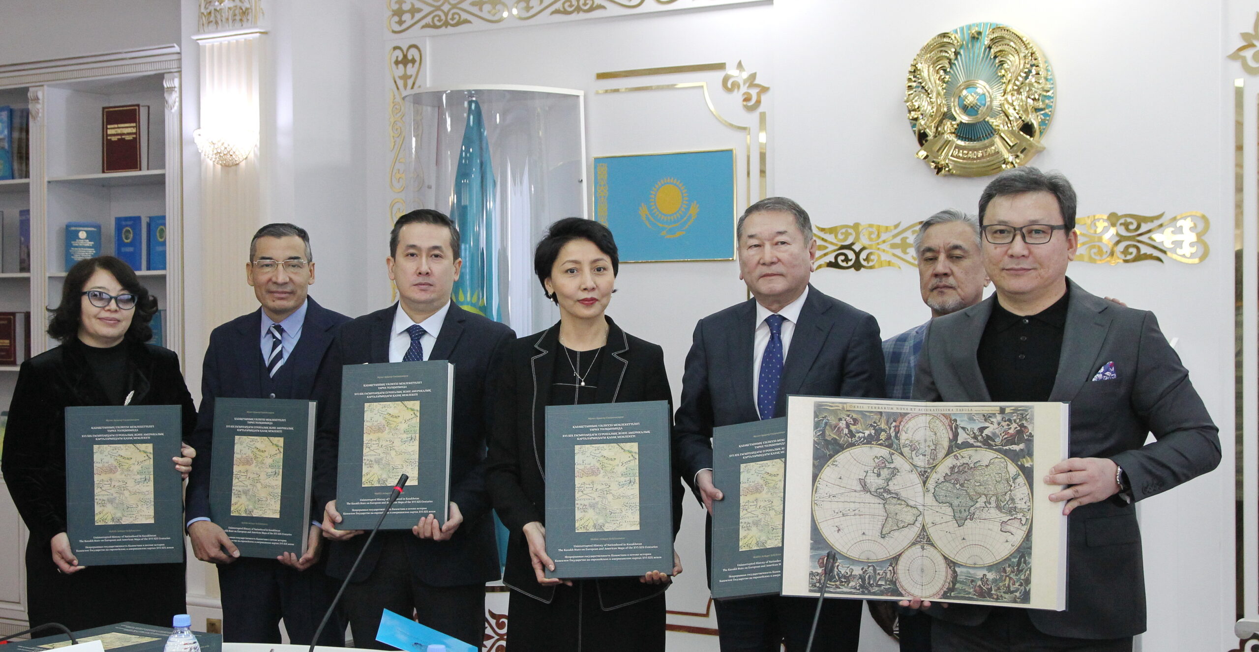
The author Mukhit-Ardager Sydyknazarov (R) gifted the copies of his book to the largest national libraries, archives, and educational institutions. Photo credit: Ilyas Omarov.
The book “Uninterrupted History of Nationhood in Kazakhstan. The Kazakh State on European and American Maps of the 16-19th Centuries. Atlas” is the result of 17 years of research.
Published in Brussels in three languages, Kazakh, English, and Russian, the book provides detailed data on the maps’ authors, years of publication, map size, where it is stored, and authors’ inscriptions on maps for scientists, researchers, and students.
If there were any doubts about early Kazakh statehood, the book resolves them scientifically, according to Sydyknazarov, providing accurate on-the-ground observations backed with geographic representations of European and American travelers and diplomats.
“There has not been a single year in Europe since 1544 when a map of the Kazakh Khanate was not published,” said Sydyknazarov.
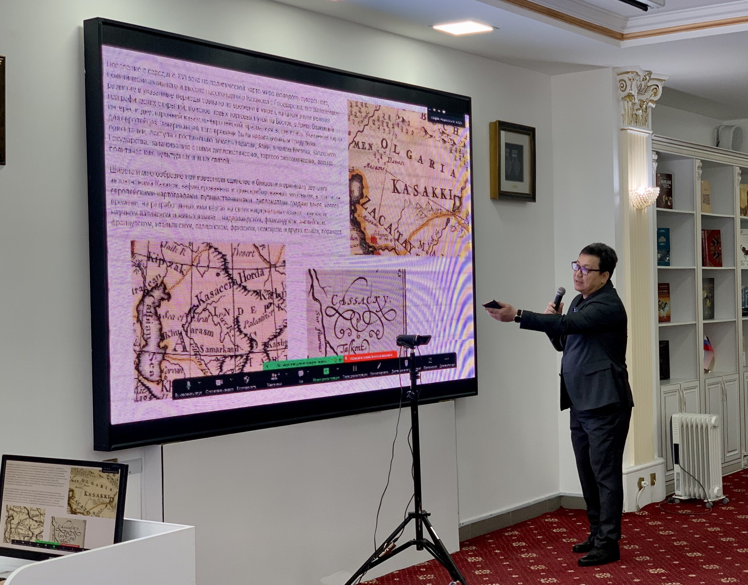
European maps contained over 40 early names of the Kazakh state, including Kasakki, Cassacky, and Kasaccia Horda as seen in the picture. Photo credit: astanatimes.com
Speaking on the reason behind the title of his book, Sydyknazarov said there is such a concept as “continuity” of state in international law. “As strange as it may seem to some, periods of colonization or even the periods when a government is in exile are considered to be factors that strengthen the statehood of a given country,” he continued.
In the hands of Sydyknazarov, who has collected over 1,500 maps and studied around 45,000 maps and 300 ancient atlases in Europe and the United States, maps became the reflections of the politics, culture, religion, and trade of the country, some depicting military battle scenes, nomad camps, yurts, and nomads engaged in everyday activities.
Maps stand out both for their singular beauty and their vital contribution to the history of Kazakh statehood.
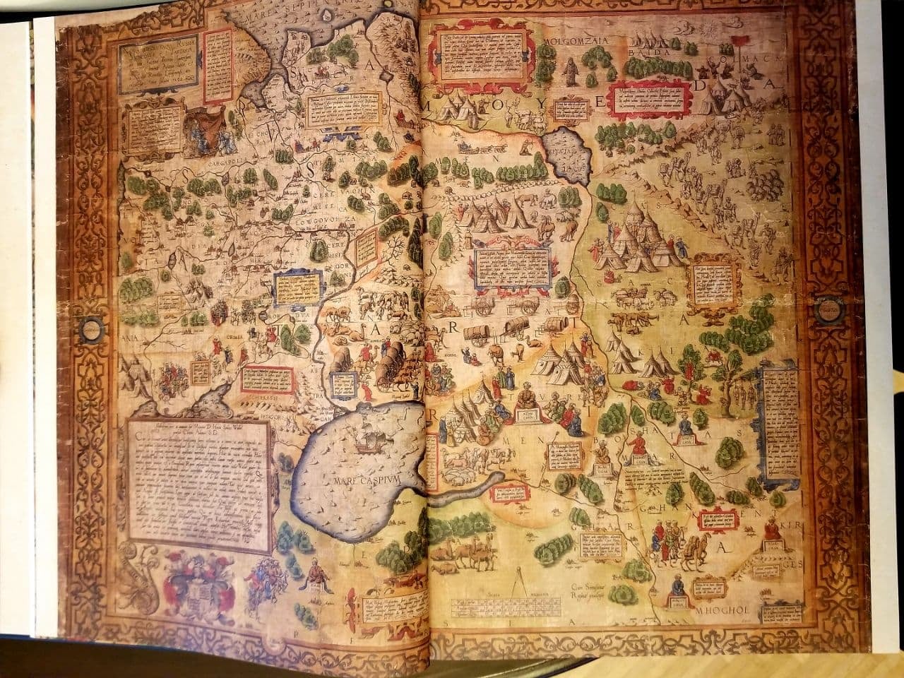
British ambassador Anthony Jenkinson’s 1562-year map offers an insightful representation of the nomadic lifestyle with yurts and cattle, along with short descriptions. Photo credit: Sydyknazarov’s Facebook.
One of the examples is the only copy of British ambassador Anthony Jenkinson’s 1562-year map, drawn during one of his four trips to Kazakh lands. “Cassacia is a country with a myriad of cattle, has a metal industry, and the jewelry they produce is of such superb craftsmanship that I highly admire it. The cattle are fed on barley,” reads the description that it contains.
Maps containing images of the Kazakh state were mandatory for geography study in the school curriculum of European countries of that period.
There are over 40 early names of the Kazakh state in European languages, including Calzag, Cassachi, Cassachios, Cassaci, Cassacki, Cassacky, Cassak, Cassaсcia Horda, Kassaki, Kasakhi, Kayissaks, Kaizaken, Kazak, Independent Kassaks, Independent Tartars, Kalzag, Karsak, Kasacha, Kasacсia Horda, Kirghiz, Kirghiz Khasaks, and Khirghiz Kaizak, among others.
The book is available for readers at the National Academic Library in Astana.