
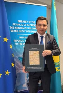
ASTANA – Kazakh researcher Mukhit-Ardager Sydyknazarov, a doctor of political science and director of the Institute of Modern Studies at the Gumilev Eurasian National University, has dedicated 20 years to cartography. Revering ancient maps as the “king” of written sources, he believes they hold the key to advancing science and higher education in Kazakhstan.
Mukhit-Ardager Sydyknazarov, doctor of political science and director of the Institute of Modern Studies at the Gumilyov Eurasian National University. Photo credit: Sydyknazarov’s personal archieve
In an interview with The Astana Times, he discussed his research in European national and royal archives, libraries, and museums, focusing on the origins of the Kazakh state and the systematization of ancient maps. He also revealed what the Goodwill Ambassador award he recently received from the Kazakh Foreign Ministry, means for him.
He is the author of “Uninterrupted History of Nationhood in Kazakhstan. The Kazakh State on European and American Maps of the 16th-19th Centuries. Atlas,” which includes 130 maps dating from 1562 to 1879. These maps show the early Kazakh statehood and provide an uninterrupted history of Kazakh nationhood.
According to him, the book scientifically resolves any doubts about the existence of the early Kazakh state with detailed geographic representations from European and American travelers and diplomats.
Goodwill Ambassador: embracing a new mission
Sydyknazarov is one of Kazakhstan’s Goodwill Ambassadors, an award the ministry presents to citizens who contributed to enhancing the country’s international image.
“Recently, I was honored to be appointed as the Goodwill Ambassador, a role that carries significant responsibility and prestige. It allows me to represent Kazakhstan on the international stage, particularly in my area of expertise: scientific research,” said Sydyknazarov.
In his new role, Sydyknazarov aims to promote an understanding of the country’s balanced foreign policy, a tradition established by the founders of the nation, Kerey and Zhanibek Sultans, in the mid-15th century.
Mukhit-Ardager Sydyknazarov has dedicated 30 years to cartography. Photo credit: Sydyknazarov’s personal archieve
“Today, Kazakhstan is a successful and established state that confidently articulates its voice and position on various international issues. We have built relationships with key global players and nations, which has been a hallmark of Kazakh statehood since its inception. We have always been respected, recognized, and taken seriously on the world stage,” he added.
He emphasized that advancing the historical significance of Kazakh statehood and promoting its heritage both domestically and internationally are profoundly important to him as a scholar and a patriot.
A lifelong dedication to cartography
“I began this work in 2007 while studying in Poland and later in Germany. In my free time, I visited archives and cartographic collections. I questioned how small European states had detailed cartographic histories, yet the Kazakh state, at the height of its geopolitical influence in the 15th century, seemed absent from European research. It seemed impossible,” said Sydyknazarov.
The earliest map of the Kazakh state he discovered dates back to 1450, while the earliest mention of the Kazakhs was found on a map from 1054. He also found and studied a 1562 map where the country is depicted under its original name, “Cassackia.” The map was created by Anthony Jenkinson, an English traveler and ambassador of Queen Elizabeth I to the Kazakh state.
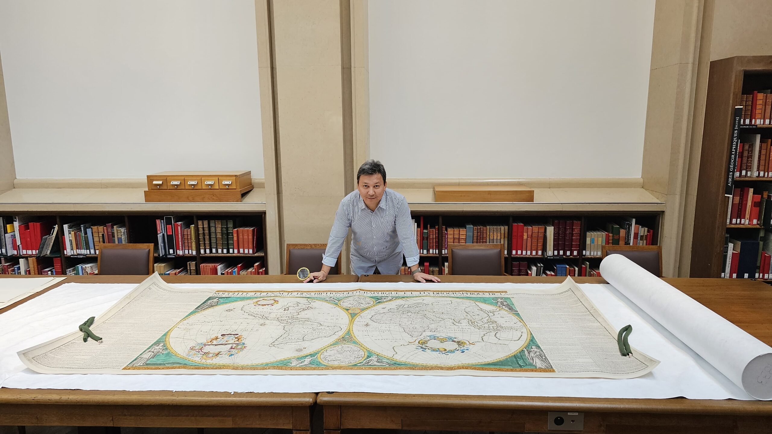
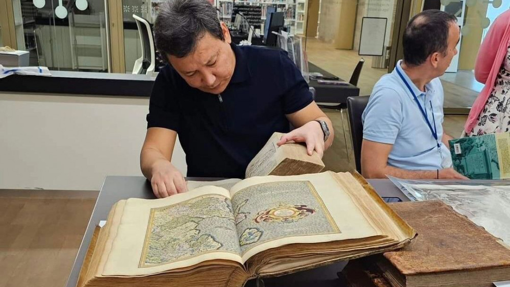
Sydyknazarov researched European national and royal archives, libraries, and museums, focusing on the origins of the Kazakh state and the systematization of ancient maps. Photo credit: Sydyknazarov’s personal archieve
Jenkinson visited the Kazakh state between 1557 and 1572, establishing key diplomatic relations that culminated in the Kazakh mission to London in 1561. This mission was led by Aura Soltana (Aru Sultan), a close associate of Khan Khaknazar, making her the first diplomatic representative of the Kazakh state at the English court.
“Soltana’s role as a Kazakh ambassador in Europe for 15 years highlights the success of our country during that period and the wise foreign policy of Kazakh rulers,” said Sydyknazarov.
He emphasized the often misunderstood nature of cartography.
“I have found and verified over 4,000 maps of the Kazakh state, which I am gradually introducing into academic discourse. Many believe cartography relates solely to geography or history, but it encompasses various disciplines, including toponymy, ethnology, European studies, Turkology, linguistics, literature, religious studies, hydrology, sociology, statistics, and even the history of national costumes,” he said.
His research uncovered several previously unknown cities of the Kazakh state depicted on European and American maps from the 11th to 19th centuries. One of his notable discoveries includes the first portrait of Zhanibek Khan on a Genoese map from 1450.
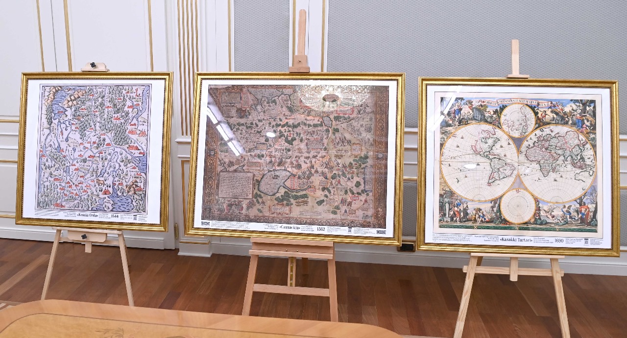
The map’s exhibition featuring Kazakh State on European and American Maps of the 16th-19th Centuries. Photo credit: Sydyknazarov’s personal archieve
“Over 250 politonyms of the Kazakh state are recorded on European and American maps, including the previously unknown term ‘Zheti,’ which means ‘Kazakh,’ and is tied to the ‘Zheti Zhargy,’ or Kazakh law,” he said.
Sydyknazarov highlighted the role of ancient maps as a trustful source of history.
“When we read chronicles or traveler’s accounts, the traveler may have biases or misrepresent the history of a country. But when drawing a map, one cannot invent extra continents or seas. Serious ancient maps were created for understanding foreign states, trade, and diplomacy, making them immensely important,” said Sydyknazarov.
He also expressed regret that during the Soviet era, universities did not include the study of ancient maps of Kazakhstan or other former Soviet nations.
“With independence, I often say it was this very freedom that allowed me to travel to different countries, proudly presenting my turquoise passport as a citizen of a sovereign nation,” he said.
He believes that each ancient map of Kazakhstan serves as the nation’s “identity card,” filling in crucial gaps in its history.
“These maps are significant not just for geography and history but also for Kazakh linguistics, literature, ethnography, and international relations. They often include information about religion, languages, and demographic data,” he said.
Sydyknazarov cited a French royal map from 1856 that listed the Kazakh population at 4.5 million. This aligns with a 1921 report by Alikhan Bokeikhanov that the Kazakh population before the famine from 1921 to 1933, caused by Soviet collectivization, was 7.5 million. Because of the famine, wars, and forced resettlement policies, the population decreased to 2.5 million.
“Had those events not occurred, Kazakhstan’s population today might have been 85-90 million. Cartographic sources help us preserve our history and understand our cultural and political identity,” he said.
Atlas of unbroken legacy
Sydyknazarov explains that the book’s title, “Uninterrupted Statehood,” was not chosen randomly. He said that the theory of continuity asserts that even if a country experiences colonization—as Kazakhstan has—this does not diminish its statehood. In fact, countries often emerge from such periods stronger and more resilient, effectively harnessing their human, economic, and cultural resources, which can attract colonization from more powerful neighboring states.
Sydyknazarov emphasized that the book’s publication in Brussels was significant, as the city symbolizes the European cartographers and scholars who left behind a priceless legacy of maps of the Kazakh state.
“In 2024, we released a second expanded edition featuring 200 maps with detailed descriptions, technical specifications, and in-depth analyses. This edition generated even more interest, becoming the first specialized atlas in the country’s history to include European and American maps of the Kazakh state,” he said.
Sydyknazarov believes that as these maps are discovered and introduced into scholarly discourse, it is critical to integrate this information into history textbooks and educational materials about Kazakh culture and Turkic nations.
He advocates for disseminating this knowledge through various platforms, including state television.
“As for the future, I have set a goal: in every European, American, and Middle Eastern home, people proudly display ancient maps of their countries. I want to foster a similar culture among Kazakhs. Over the past three years, I have made progress. Traditionally, every Kazakh home has three sacred items: a whip, dombyra, and the Quran. I believe these maps should also be considered essential,” he said.
Sydyknazarov emphasized the captivating power of maps, noting that while academic works and monographs may not reach a broad audience, maps inherently draw people in. Even children unfamiliar with geography or history can immediately recognize their country when they see names such as “Kazakh” or “Kazakh Kingdom” on a map.
“These maps provide insights not just for our citizens but also for international visitors interested in our history and culture. They illustrate that Kazakhstan has a rich history of statehood, documented by some of history’s greatest cartographers,” he said.
Galleries showcasing ancient maps of the Kazakh state from the 11th to 19th centuries have opened in several cities nationwide. At the same time, similar galleries have also been established abroad, in cities such as Paris, Baku, Chicago, and San Francisco.
Another gallery will open at the Polish Academy of Sciences in November, with support from the Kazakh Ambassador to Poland.