
ASTANA – The Government has approved a new master plan for the development of the city of Almaty until 2040, reported the Almaty Akimat (city administration) on May 22. The strategic document outlines the creation of five city centers to reduce the load on the historical city center and addresses ecological issues through the expansion of an environmentally friendly transportation system and the creation of green areas in the city.
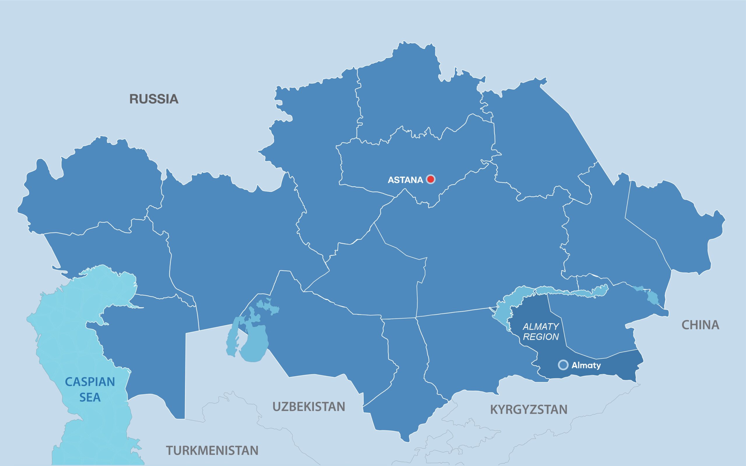
Photo credit: Almaty Akimat. Click to see the map in full size. The map is designed by The Astana Times.
The previous master plan was approved over 20 years ago and did not consider the growing needs of the city. Since then, the city area has more than doubled, exceeding 70,000 hectares, while the population has surpassed 2 million people. As a result, some districts do not possess the necessary social, engineering, and transport infrastructure.
The key feature of the new plan is the focus on city decentralization.
“In line with international trends, we have outlined the development of new city centers to decrease the economic burden on the historical center and divert flows to peripheral areas,” said Askhat Saduov, General Director of AlmatyGenplan Research Institute.
The aim is for the new five city centers – East Gate, North, South, West, and Southwest – to become compact and comfortable areas of residence, as well as centers of business and social activity.

Photo credit: Shutterstock.
In the next 17 years, 188 new schools, and 65 clinics are expected to be built, and some existing institutions are planned to be modernized. Additional networks to supply heat, water, and sanitation will also be put into operation.
The document prioritizes the modernization of the city’s transport infrastructure.
By 2030, 45 kilometers of light rail lines and over five kilometers of metro lines will be constructed. By 2040, another 76 kilometers of light rail lines, 57 kilometers of high-speed bus lines, and eight kilometers of metro lines will be built.
These measures are expected to increase the share of public transport users by 60% by 2040 while decreasing the use of private cars by 20%.
Locations to charge personal and public electric vehicles will be created between 2025 and 2030.
“It should change the preferences of the residents – if the city offers fast, convenient and spacious public transport, the need for private cars will diminish, which will decrease accidents and emissions. With the changes to the transport infrastructure, more investments will be made in pedestrian and cycling infrastructure,” said Roman Barabanov, an independent expert in the field of urban transport.
Green zones will also be expanded. By 2030 the total area of green zones will triple from 1,300 to 3,340 hectares and to 3,840 hectares by 2040.
Taking into consideration the seismic activity in the region, the master plan also focuses on ensuring the safety of citizens. It limits the construction of buildings in 10-point seismic activity zones to no higher than six floors.
During the development of the document, the specialists used advanced digital technologies and world experience in designing Space Syntax. Modeling tools predict the social, economic, and environmental impacts of urban development and how they affect mobility, land values, and human health.